Slip/Slide/Run the Brooklyn Bridge
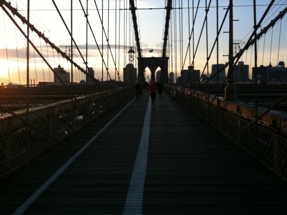
As I toss on a few layers to run across the Brooklyn Bridge I’m guessing that my wife thinks I’m nuts. Given the weather. The fact she doesn’t say anything…at all…cements the POV. Yeah, we’re probably both thinking about the torn calf muscle last year and the 8+ weeks of rehap or… maybe not. Who knows really, it’s not worth asking.
the Office…

I wouldn’t recommend not watching where you’re going. But it’s hard to get away from the office — especially with a start-up like Voyage.tv — or any start-up for that matter. But I try to find a balance even if tied to a Blackberry (and an IPhone).
RunKeeper & the Brooklyn Bridge

Running the bridge is never easy for me. The loop itself is a little over 3 miles from my house. I never run with music, for no good reason, but I did start to run with the iPhone. With RunKeeper. I like the App mostly because it’s motivational. Seeing the days pile up or the missing days adds enough reward or guilt to push me out the door on several recent 40 degree NYC mornings. I think it was 46 degrees this morning when I took the picture.
Devil’s Path 1, John Pasmore 0

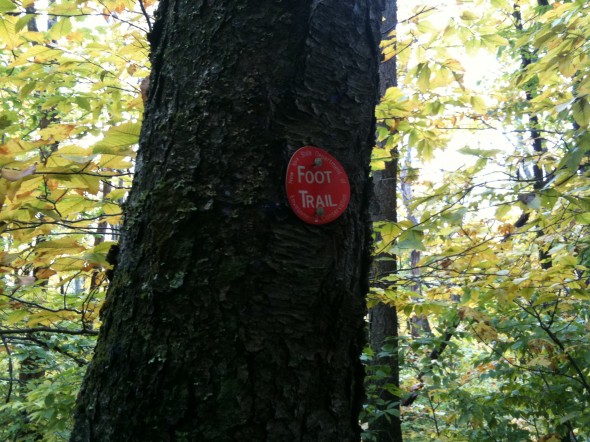
So went hiking up in the Catskills with the intention of camping with a buddy. After waking up at 5:30, and then driving 3 hours north we hit the trail a little late – 9:00ish on a chilly (50 degrees and falling) morning full of drizzle. Got a map and little advice from the Ranger Station and was onward and upward. Approximately an hour and a half into the woods my partner in this mini-adventure develops a not-so-mini 1.5 inch blister on his heel. Ouch. (Partial gear list to come as this was mostly a preparation/gear avoidable injury).
Taking the Tayana
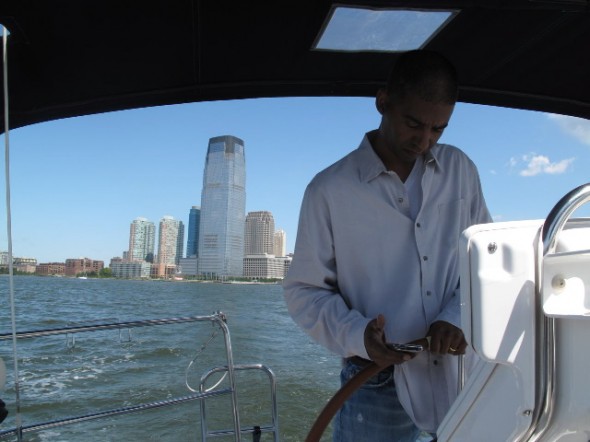
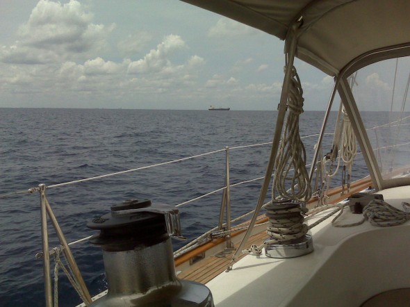
 Somehow squeezed in a trip from Ft Lauderdale to Savannah Georgia on 52 foot Tayana. Got to test iPhone navigation app by INavx. The navigation charts downloaded to the phone so you don’t need a cell signal to navaigate, just the GPS.
And there is just so much to know, and Tayana Captain (friend) is a fantastic sailor. There’s so much to know on a boat and any time with someone who’s sailed probably 35,000+ miles is really like Gold.
INavx worked well — hard to keep an iPhone on deck in wet environment though Aquapack can help. Still need a bigger electronic chart on the computer and ideally the same as what’s on the iPhone. Again ideally you’d want to plot waypoints on the bigger screen of laptop and upload them to iPhone, but can do on phone with patience. In any case, good to have another chart on board (and GPS). Just took ASA 105 which is kind of a throwback Navigation class — lots of pencils and erasers….but it all helps…especially blue water…harbors too.
Trip was 400 miles — did 10 knots with the help of the Gulf Stream and was back at desk on Wednesday.

